
District Anjaw Elevation 1,240 m | Time zone IST (UTC+05:30) Vehicle registration AR | |
 | ||
Mago is a village Panchayat in Thingbu Tehsil of Tawang district in the north-eastern state of Arunachal Pradesh, India.
Contents
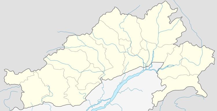
Map of Mago 790105
Location
It is 35 km from Tawang, 55 km from Bomdila, 151.3 km from Arunachal Pradesh state capital Itanagar, and 179.4 km from Assam state capital Dispur. Nearest airports are Tezpur Airport (123 km) and Zero Airport (160 km).,
It is located on the 2,000-kilometre-long (1,200 mi) proposed Mago-Thingbu to Vijaynagar Arunachal Pradesh Frontier Highway along the McMahon Line, alignment map of which can be seen here and here.
References
Mago, Tawang Wikipedia(Text) CC BY-SA