
Country United States GNIS feature ID 497453 Local time Friday 10:47 PM Area code 270 | Time zone Eastern (EST) (UTC-5) Elevation 262 m Population 524 (2010) | |
 | ||
Weather 11°C, Wind SW at 6 km/h, 100% Humidity Area 5.302 km² (5.281 km² Land / 2 ha Water) | ||
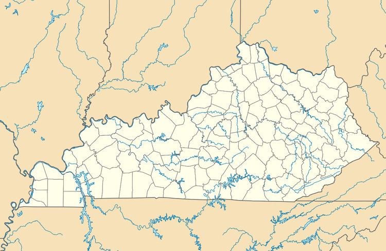
Magnolia is a census-designated place and unincorporated community in LaRue County, Kentucky, United States. Its population was 524 as of the 2010 census. The Magnolia area was settled in the 1780s primarily by Virginians seeking land following the American Revolution.
Map of Magnolia, KY 42757, USA
References
Magnolia, Kentucky Wikipedia(Text) CC BY-SA