
Population 8,229 (2011 census) Postcode(s) 5072 Founded 1838 Local time Saturday 10:44 AM | Established 1838 Postal code 5072 | |
 | ||
LGA(s) City of BurnsideCity of Campbelltown Weather 24°C, Wind N at 11 km/h, 33% Humidity | ||
Magill is a suburb of Adelaide in the City of Burnside and the City of Campbelltown. It incorporates the suburb previously known as Koongarra Park.
Contents
Map of Magill SA 5072, Australia
History
Magill is a suburb located approximately 7 km from the Adelaide CBD in the eastern suburbs. Magill was first established as the 524-acre (2.12 km2) Makgill Estate, owned by two Scots, Robert Cock and William Ferguson, who met en route to the newly founded colony of South Australia when sailing out from Portsmouth on the HMS Buffalo and formed a partnership as a carrier and merchant following their arrival on 28 December 1836. It was named after Cock's trustee, David M. Makgill. The estate's homestead was built in 1838 by Ferguson, who was charged with farming the estate. Soon after farming commenced the two were short of cash, and thus Magill became the first foothill village to be subdivided.
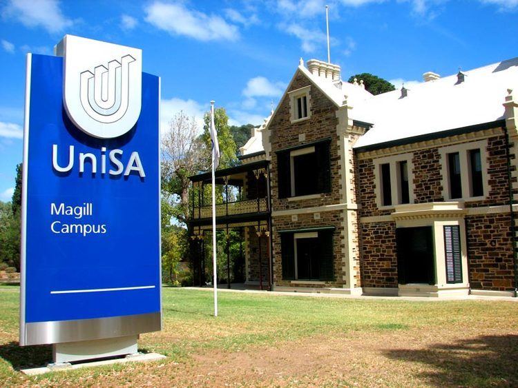
Nowadays Magill has a population of 11,222, is home to one of Penfolds Wineries, a shopping centre, a Respite Agency, UniSA Magill Campus and the historic Murray Park Estate. It is sometimes divided into Magill South and Magill North to distinguish what local government area they belong to as Magill is in both the City of Burnside and the City of Campbelltown.
Schools
Magill has three educational institutions, Magill Primary School on Magill Road, Norwood Morialta High School (Senior Campus) on The Parade, and University of South Australia (Magill Campus) on St Bernards Road.