
Seat Warrenton Time zone SAST (UTC+2) Area 1,542 km² Black african population 80% Native sotho speakers 2.2% | Wards 5 Municipal code NC093 White population 5.1% Native afrikaans speakers 21.2% Native tswana speakers 67.2% | |
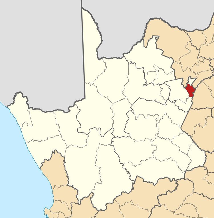 | ||
Magareng Local Municipality is an administrative area in the Frances Baard District of the Northern Cape in South Africa.
Contents
Map of Warrenton, South Africa
Magareng is a Setswana name meaning "in the middle". The name reflects the geographic location of the municipality in relation to other areas.
Main places
The 2011 census divided the municipality into the following main places:
Politics
The municipal council consists of nine members elected by mixed-member proportional representation. Five councillors are elected by first-past-the-post voting in five wards, while the remaining four are chosen from party lists so that the total number of party representatives is proportional to the number of votes received. In the election of 18 May 2011 the African National Congress (ANC) won a majority of six seats on the council. The following table shows the results of the election.