Elevation 2,139 m (7,018 ft) | ||
 | ||
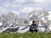
Uspon na maganik
Maganik ([maɡǎniːk]) is a mountain range in Central Montenegro. The highest point of Maganik is Međeđi Vrh ("Bear's summit"), which is 2,139 m (7,018 ft) high.
Contents
Czarnog ra maganik 2016 akg
Features
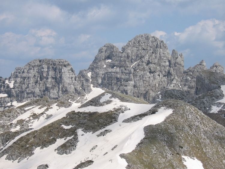
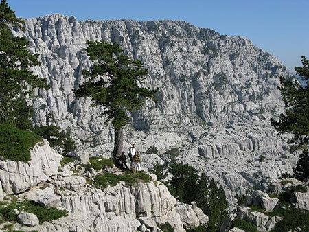
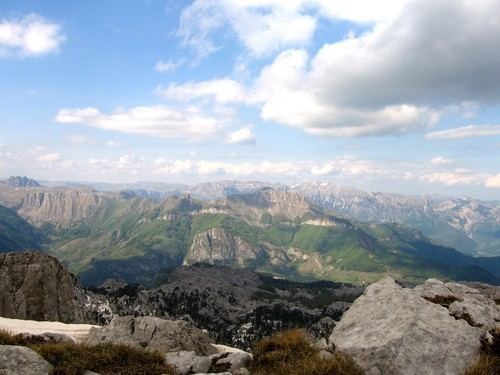
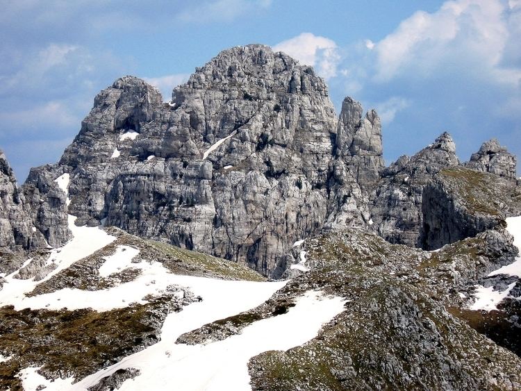
Maganik is 20 km long and 10 km wide mountain range, located in central Montenegro. It is bordered by Zeta, Morača and Mrtvica rivers.
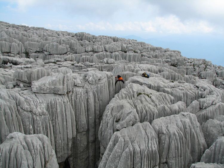
The geological composition of Maganik is made of cretaceous limestone. The base of the mountain range from the Nikšić side and the Morača River valley is made up of Triassic limestone. The canyon slopes of the river Mrtvica are formed by Triassic, Jurassic and cretaceous limestone, which created a rich vertical jaggedness to the Maganik mass. Its relief is enriched with deep karst hollows, valleys and funnel-shaped depressions. The rock formations are razor-sharp on some places. Thus, Maganik is considered one of the most demanding and inaccessible mountaineering destinations in Montenegro.
Peaks
The highest peaks of Maganik are: