
Country Thailand Time zone THA (UTC+7) Geocode 6013 Province Nakhon Sawan Province | Seat Mae Wong Postal code 60150 Area 766.8 km² | |
 | ||
Mae wong waterfall
Mae Wong (Thai: แม่วงก์) is a district (amphoe) in the western part of Nakhon Sawan Province, northern Thailand.
Contents
- Mae wong waterfall
- Map of Mae Wong District Nakhon Sawan Thailand
- History
- Geography
- Administration
- References
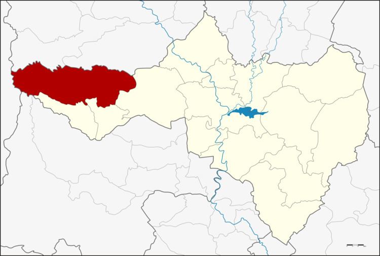
Map of Mae Wong District, Nakhon Sawan, Thailand
History
The minor district (King Amphoe) Mae Wong was created on April 1, 1992, when the six tambon Mae Wong, Mae Le, Wang San, Khao Chon Kan, Pang Sawan and Huai Nam Hom were split off from Lat Yao district. Huai Nam Hom was returned to Lat Yai district on December 1, 1994. On October 11, 1997 the minor district was upgraded to a full district.
Geography
Mae Wong is the name of a river inside the Mae Wong National Park.
Neighboring districts are (from the north clockwise) Pang Sila Thong and Khanu Woralaksaburi of Kamphaeng Phet Province, Lat Yao, Chum Ta Bong and Mae Poen of Nakhon Sawan Province, and Umphang of Tak Province.
Administration
The district is subdivided into 4 subdistricts (tambon), which are further subdivided into 67 villages (muban). There are no municipal (thesaban) areas and further 4 Tambon administrative organizations (TAO).
The missing number 2 was given to Huai Nam Hom, which was reassigned back to Lat Yao district.