
Country Thailand Time zone ICT (UTC+7) Geocode 5716 Population 30,779 (2005) | Seat Pa Ko Dam Postal code 57250 Area 406 km² Province Chiang Rai Province | |
 | ||
Mae Lao (Thai: แม่ลาว; [mɛ̂ː lāːw]) is a district (amphoe) in the central part of Chiang Rai Province, northern Thailand.
Contents
Map of Mae Lao District, Chiang Rai, Thailand
History
The area of Mae Lao district was separated from Mueang Chiang Rai district and established a minor district (king amphoe) on 31 May 1993. It originally consisted of the four tambon Dong Mada, Chom Mok Kaeo, Bua Sali, and Pa Ko Dam. It was upgraded to a full district on 5 December 1996.
Geography
Neighboring districts are (from the west clockwise) Mae Suai, Mueang Chiang Rai and Phan of Chiang Rai Province.
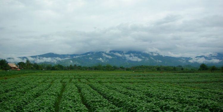
The mountains of the Phi Pan Nam Range dominate the landscape of the district, which is named after the Lao River that flows through it
Administration
The district is divided into five sub-districts (tambon), which are further subdivided into 63 villages (muban). There are two townships (thesaban tambon). Mae Lao covers parts of tambon Dong Mada, and Pa Ko Dam parts of tambon Pa Ko Dam and Chom Mok Kaeo. There are a further five tambon administrative organizations (TAO).