
Country Thailand Amphoe established 1908 Postal code 50270 Area 3,361 km² Province Chiang Mai Province | Seat Chang Khoeng Time zone ICT (UTC+7) Geocode 5003 Population 57,214 (2008) | |
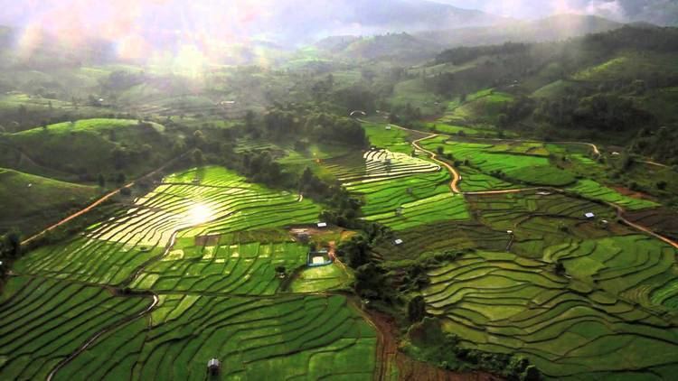 | ||
Mae Chaem (Thai: แม่แจ่ม) is a district (amphoe) of Chiang Mai Province in northern Thailand.
Contents
Map of Mae Chaem District, Chiang Mai, Thailand
History
The district Mueang Chaem was created in 1908, consisting of the tambon Mae Thap,Tha Pha, Chang Khoeng and Mae Suek split off from Chom Thong. In 1917 it was renamed to Chang Khoeng, as the district office was located in that tambon. In 1938 it was reduced to a minor district (King Amphoe) and was a subordinate of Chom Thong district. 1939 it was renamed to Mae Chaem. In 1956 it was upgraded to a full district.
In 2009 the northern part of the district was split off to form the new district Galyani Vadhana.
Geography
Neighboring districts are (from the north clockwise) Galyani Vadhana, Samoeng, Mae Wang, Chom Thong and Hot of Chiang Mai Province, and Mae Sariang, Mae La Noi, Khun Yuam, Mueang Mae Hong Son and Pai of Mae Hong Son Province.
Thailand's highest mountain, 2,565 meters (8,415 feet) high Doi Inthanon, in the Thanon Thong Chai Range, is in Mae Chaem district.
Administration
The district is subdivided into seven subdistricts (tambon), which are further subdivided into 85 villages (muban). Mae Chaem also has subdistrict municipality (thesaban tambon) status and covers parts of tambon Chang Khoeng. There are further seven tambon administrative organizations (TAO).
Missing numbers belong to the subdistricts which formed Galyani Vadhana district in 2009.