
Country Thailand Tambon 7 Amphoe established 1967 Area 736.7 km² Province Chiang Mai Province | Seat Mae Ai Muban 99 Time zone ICT (UTC+7) Population 73,537 (2014) | |
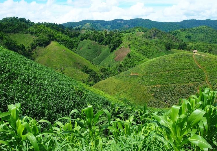 | ||
Mae Ai (Thai: แม่อาย) is the northernmost district (amphoe) of Chiang Mai Province, northern Thailand.
Contents
- Map of Mae Ai District Chiang Mai Thailand
- History
- Geography
- Central administration
- Local administration
- References
Map of Mae Ai District, Chiang Mai, Thailand
History
The minor district (king amphoe) Mae Ai was created on 15 August 1967, when the three tambon Mae Ai, Mae Sao, and Mae Na Wang were separated from Fang district. It was officially upgraded to a full district on 28 June 1973.
Geography
Neighboring districts are (from the southwest clockwise) Fang of Chiang Mai Province, Shan State of Myanmar, Mae Fa Luang, Mueang Chiang Rai, and Mae Suai of Chiang Rai Province.
The important rivers are the Kok and Fang Rivers.
Central administration
Mae Ai is divided into seven sub-districts (tambon), which are further divided into 93 administrative villages (muban).
Local administration
There is one sub-district municipality (thesaban tambon) in the district:
There are six sub-district administrative organizations (SAO) in the district: