
Time zone IST (UTC+5:30) Area 3,742 km² Population 3.038 million (2011) | PIN 625001 Literacy 81.5% Area code 0452 | |
 | ||
Points of interest Meenakshi Amman Temple, Thirumalai Nayakkar Mahal, Gandhi Memorial Museum, Koodal Azhagar Temple, Vandiyur Mariamman Teppakulam Colleges and Universities Madurai Kamaraj University, Thiagarajar College of Engineering, American College - Madurai, Madurai Medical College, Thiagarajar College | ||
Madurai district is second largest in population of the 32 districts of the state of Tamil Nadu, in southeastern India. The city of Madurai serves as the district headquarters. It houses the world-famous Sri Meenakshi Sundareshwarar temple and is situated on the banks of the river Vaigai. Thiruparankundram is one of the major tourist place in the district. As of 2011, the district had a population of 3,038,252 with a sex-ratio of 990 females for every 1,000 males. Aside from the city of Madurai, the larger towns are Melur, Avaniapuram, Thirumangalam and Usilampatti. It is an important hub for various film shootings.
Contents
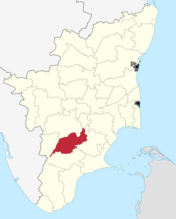
Map of Madurai, Tamil Nadu
History
Madurai is called with various nicknames like Athens of the East, Thoonga Nagaram (City that never Sleeps), Naan maada koodal (City of Four junctions), Malligai Managar (City of Jasmine), Koodal Managar (City of Junction) Koil Nagar (Temple city) etc. The main kingdoms which ruled Madurai during various times are the Pandyas and the Nayaks.
Demographics
According to 2011 census, Madurai district had a population of 3,038,252 up from 2,578,201 in the 2001 census, for a growth rate of 17.95%. It had a sex-ratio of 990 females for every 1,000 males, up from 978 in 2001, and much above the national average of 929. A total of 313,978 were under the age of six, constituting 162,517 males and 151,461 females. Scheduled Castes and Scheduled Tribes accounted for 13.46% and .37% of the population respectively. The average literacy of the district was 74.83%, compared to the national average of 72.99%. The district had a total of 794,887 households. There were a total of 1,354,632 workers, comprising 81,352 cultivators, 287,731 main agricultural labourers, 39,753 in house hold industries, 765,066 other workers, 180,730 marginal workers, 11,367 marginal cultivators, 85,097 marginal agricultural labourers, 7,540 marginal workers in household industries and 76,726 other marginal workers.
Divisions
Madurai district comprises 13 talukas and revenue blocks, same names same boundaries. Under the gram panchayat system rural administration or the district is done by panchayat villages and the taluka headquarters. The revenue blocks are further sub-divided by firkas. the last three taluks, Tiruparankundram, Madurai West and Madurai East, were created in February 2014. The thirteen talukas/blocks are:
2001 census
In the 2001 census, Madurai district had only seven talukas: Madurai North, Madurai South, Melur, Peraiyur, Thirumangalam, Vadipatti, and Usilampatti.
Climate
The climate is moderate with no extremes. There are three distinct periods of rainfall: