
Established 1866 (Municipality) Area code(s) +53-47 Area 464 km² Local time Friday 2:07 PM | Founded 1803 Time zone EST (UTC-5) Elevation 175 m Population 30,640 (2004) | |
 | ||
Weather 24°C, Wind NE at 27 km/h, 42% Humidity | ||
Madruga ([maˈðɾuɣa]) is a municipality and town in the Mayabeque Province of Cuba. It is located in the eastern part of the province, between Matanzas and Güines. It was founded in 1803.
Contents
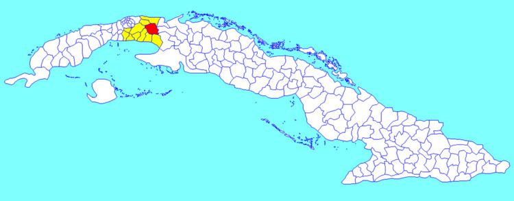
Map of Madruga, Cuba
Geography
In 1940, the municipality was divided into the barrios of Concordia and Cayajabos, Este, Itabo, Majagua, Oeste, Sabana de Robles and San Blas.
After 1973, the municipality includes Madruga; Aguacate; Viviendas Campesinas; La Granja; Cayajabos Pipián and Flor de Itabo.
Demographics
In 2004, the municipality of Madruga had a population of 30,640. With a total area of 464 km2 (179 sq mi), it has a population density of 66.0/km2 (171/sq mi).
References
Madruga Wikipedia(Text) CC BY-SA