
3-digit postal code prefix 711 Local time Friday 5:48 PM | Time zone WAT (UTC+1) Area 273 km² | |
 | ||
Weather 35°C, Wind NE at 10 km/h, 6% Humidity | ||
Madobi is a Local Government Area in Kano State, Nigeria. Its headquarters are in the town of Madobi.
Contents
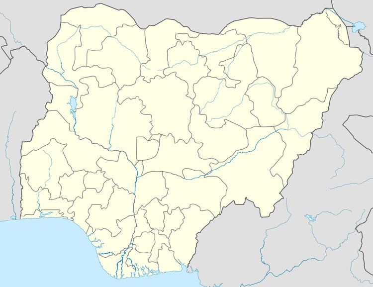
Map of Madobi, Nigeria
It has an area of 273 km² and a population of 136,623 at the 2006 census.
The postal code of the area is 711.
Madobi lota ami
References
Madobi Wikipedia(Text) CC BY-SA