
PIN 742223 Population 6,312 (2011) | Time zone IST (UTC+5:30) | |
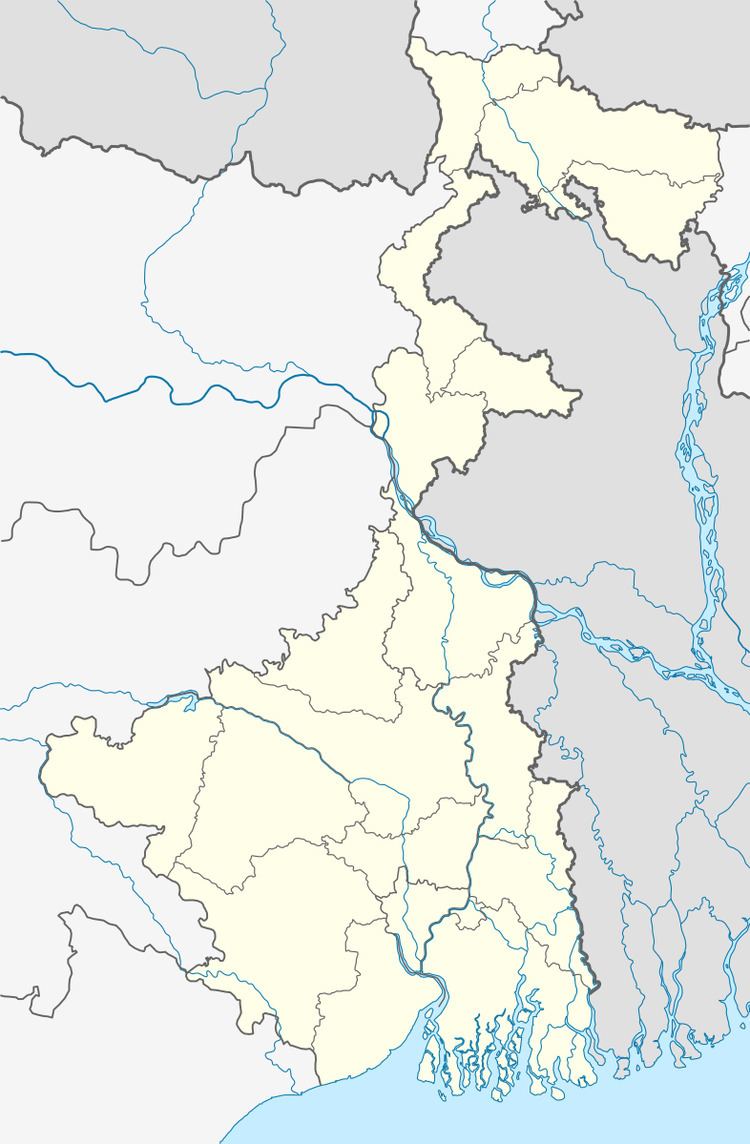 | ||
Madna is a census town in Suti I CD Block in Jangipur subdivision of Murshidabad district in the state of West Bengal, India.
Contents
Map of Madna, West Bengal 742201
Geography
Madna is situated in West Bengal, India at 24.569°N 88.037°E / 24.569; 88.037.
References
Madna, West Bengal Wikipedia(Text) CC BY-SA