
Elevation 136 m Zip code 47567 Population 382 (2010) | GNIS feature ID 453596 Area 57.16 km² Local time Friday 12:20 PM | |
 | ||
Weather 7°C, Wind S at 11 km/h, 80% Humidity | ||
Madison Township is one of nine townships in Pike County, Indiana, United States. As of the 2010 census, its population was 382 and it contained 175 housing units.
Contents
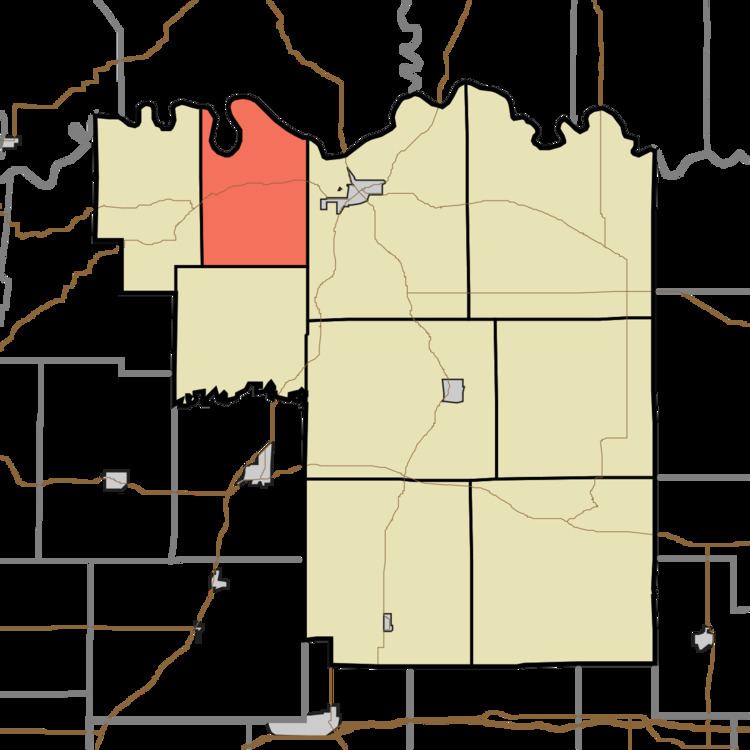
- Map of Madison Township IN 47567 USA
- Geography
- Unincorporated towns
- Cemeteries
- School districts
- Political districts
- References
Map of Madison Township, IN 47567, USA
Geography
According to the 2010 census, the township has a total area of 22.07 square miles (57.2 km2), of which 21.65 square miles (56.1 km2) (or 98.10%) is land and 0.42 square miles (1.1 km2) (or 1.90%) is water. The White River defines the township's northern border, as well as the northern border of Pike County.
Unincorporated towns
(This list is based on USGS data and may include former settlements.)
Cemeteries
The township contains these six cemeteries: Blaize, Fowler, Poplar Grove, Stewart, Weathers and Weist.
School districts
Political districts
References
Madison Township, Pike County, Indiana Wikipedia(Text) CC BY-SA