
Vehicle registration WB Local time Friday 8:37 PM | Time zone IST (UTC+5:30) Website wb.gov.in Population 6,686 (2011) | |
 | ||
Weather 26°C, Wind S at 11 km/h, 62% Humidity | ||
Er king 12301 howrah rajdhani express thunders past madhusudanpur at 130kmph
Madhusudanpur is a census town in Chinsurah Mogra CD Block in Hooghly district in the Indian state of West Bengal. It is under Mogra police station in Chinsurah Subdivision.
Contents
- Er king 12301 howrah rajdhani express thunders past madhusudanpur at 130kmph
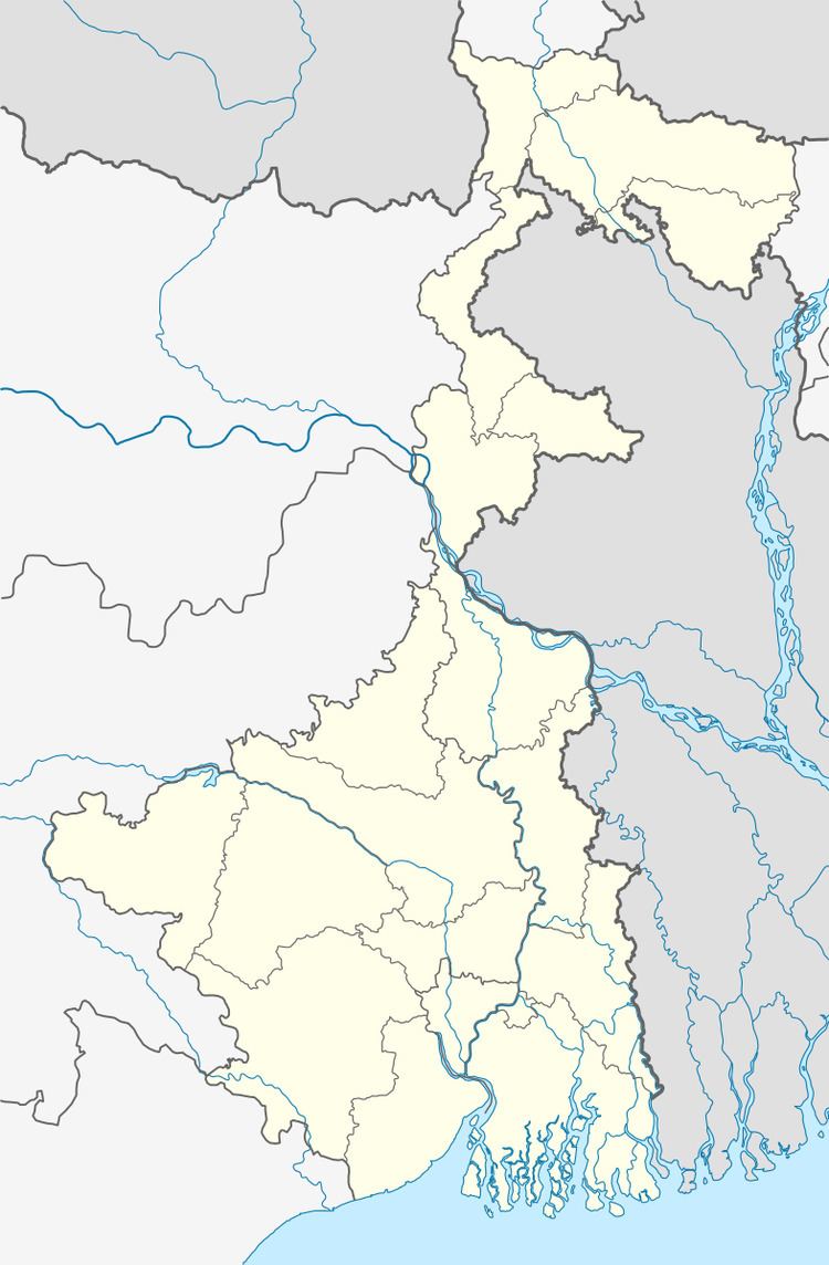
- Map of Madhusudanpur Chandrahati Raghunathpur West Bengal 712147
- Kamkhya sealdah lhb ac special with chugging bwn alco skips madhusudanpur
- Geography
- Demographics
- References
Map of Madhusudanpur, Chandrahati, Raghunathpur, West Bengal 712147
Kamkhya sealdah lhb ac special with chugging bwn alco skips madhusudanpur
Geography
Madhusudanpur is located at 23.01°N 88.40°E / 23.01; 88.40.
Demographics
As per 2011 Census of India Madhusudanpur had a total population of 6,685 of which 3,419 (51%) were males and 3,266 (49%) were females. Population below 6 years was 522. The total number of literates in Madhusudanpur was 5,472 (88.79 % of the population over 6 years).
As of 2001 India census, Madhusudanpur had a population of 6,806. Males constitute 52% of the population and females 48%. Madhusudanpur has an average literacy rate of 76%, higher than the national average of 59.5%: male literacy is 82%, and female literacy is 69%. In Madhusudanpur, 10% of the population is under 6 years of age.