
Country India Time zone IST (UTC+5:30) Elevation 6 m Population 550 (2014) | Subdistrict Chidambaram PIN 608201 Area 8 km² Area code 04144 | |
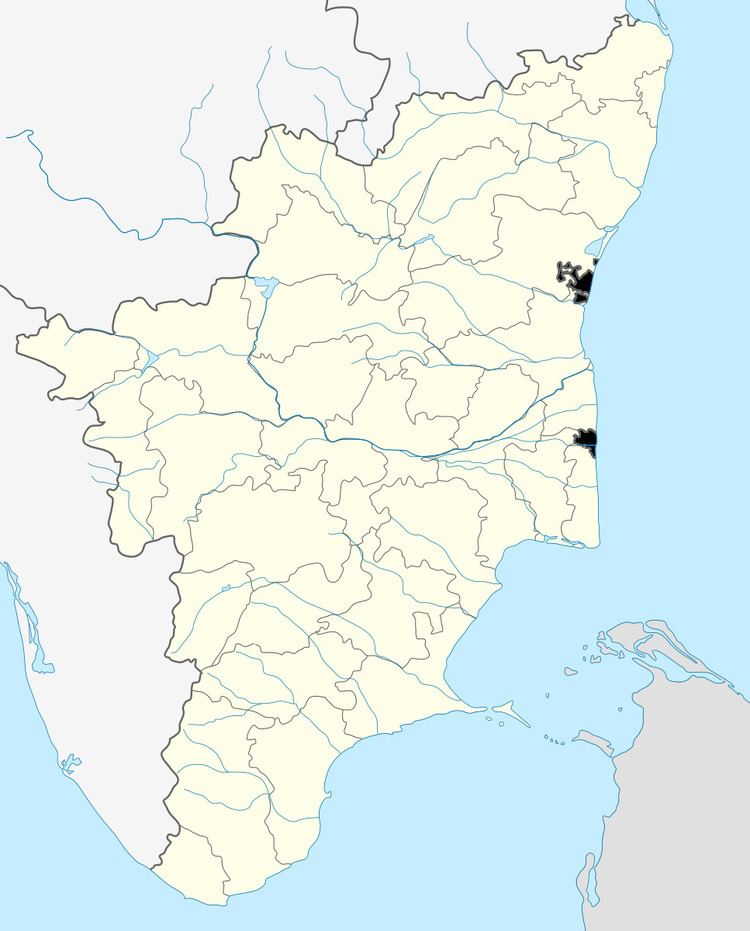 | ||
Madhuranthaganallur is a village located in the Keerapalayam panchayath, Chidambaram taluk, Cuddalore district in the Indian state of Tamil Nadu.
Contents
- Map of Maduranthaganallur Tamil Nadu 608201
- List of streets
- Nearby schools
- Nearby university and colleges
- Tourist and historic places to visit
- References
Map of Maduranthaganallur, Tamil Nadu 608201
It is located 49 km to the south of District headquarters Cuddalore, 8 km from Keerapalayam, 230 km from state capital Chennai.
Chidambaram, Neyveli, Cuddalore, Sirkali, Virudhachalam are the nearby cities to Madhuranthaganallur.
Nearby Railway Stations is Chidambaram- 14 km . Nearby Airports Chennai Airport- 207 km, Trichy Airport - 170 km .
List of streets
Nearby schools
- Panchayath Union Middle School Madhuranthaganallur.
- Aadi dravidar Government Higher Secondary School Madhuranthaganallur.
- Thiruvalluvar Higher Secondary School Orathur - 3 km.
- DGM Higher Secondary School Sethiathope - 9 km.
- RCTHSS, Ramakrishna, Nandanar, Pachayapa, Nirmala matric, Venus Matric, Kamaraj Matric Higher Secondary schools in Chidambaram - 11 km.
Nearby university and colleges
- Annamalai University in Chidambaram - 11 km.
- Sri Ragavendra Arts and Science College Keezhmoongiladi - 15 km.
- MRK Institute of Technology - Kattumannarkoil - 20 km.
Tourist and historic places to visit
- periya nayagi temple in madhuranthaganallur
- sivan temple in madhuranthaganallur
- perumal temple in madhuranthaganallur
- Sri Ragavendra Swami birthplace in Buvangiri - 7 km.
- Nataraja Temple in Chidambaram - 11 km.
- Pichavaram Mangroove Forest - 20 km.
- Cuddalore Silver Beach - 57 km.
- Velankanni Temple - 125 km.
References
Madhuranthaganallur Wikipedia(Text) CC BY-SA