
Population 1,846 (2011) | Time zone IST (UTC+5:30) Vehicle registration WB | |
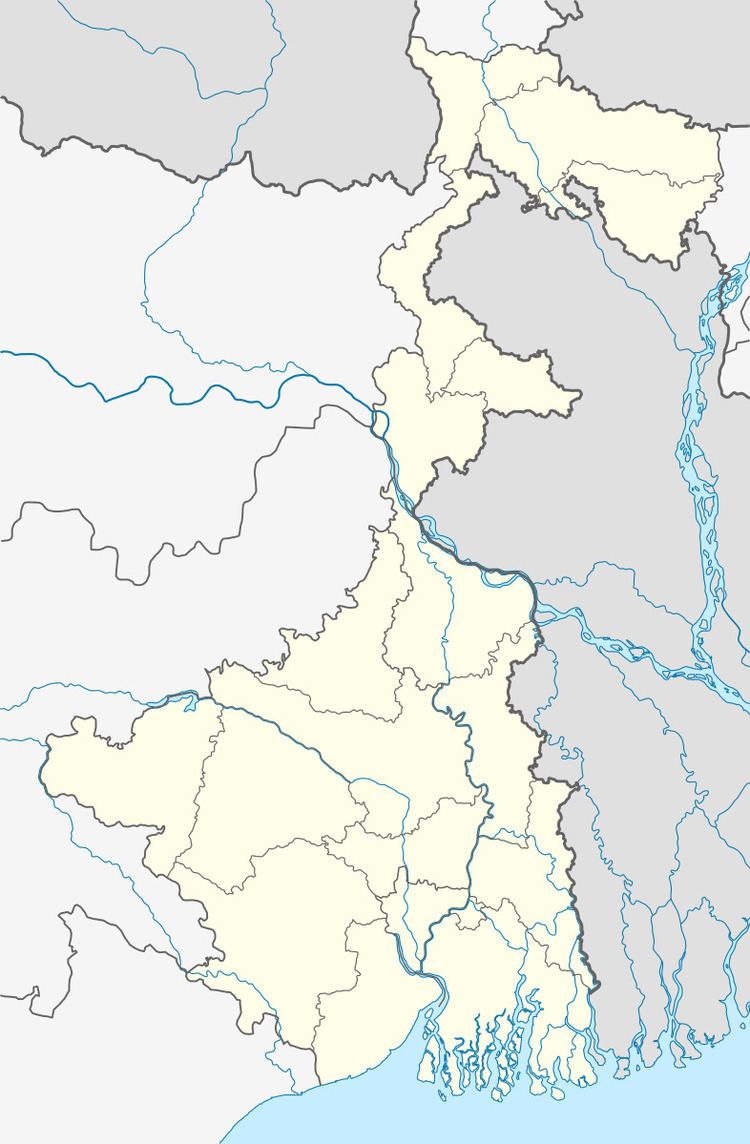 | ||
Madhupur (Bengali: মধুপুর) is a village in Chanditalal–I community development block of Srirampore subdivision in Hooghly District in the Indian state of West Bengal.
Geography
Madhupur is located at: 22°44′41″N 88°10′17″E
References
Madhupur, Chanditala-I Wikipedia(Text) CC BY-SA