
Country India Time zone IST (UTC+5:30) Elevation 70 m Population 11,047 (2010) | Block Barharia PIN 841232 Local time Friday 8:08 PM Area code 06154 | |
 | ||
Weather 23°C, Wind E at 3 km/h, 53% Humidity | ||
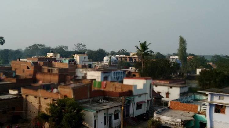
Madhopur is a village in Barharia block of Siwan district in the Indian state of Bihar. It is located 2 kilometers (1.24 mi) north of the Barharia block at Barharia-Gopalganj road, It is located 18 kilometres (11 mi) east of the district headquarters Siwan and 150 kilometres (93 mi) from the state capital Patna. Madhopur is surrounded by Sahpur to the north, Barasra south, Chhatisi east, and Rasulpur to the west. Barharia, Siwan, Gopalganj, Mirganj, Barauli and Thawe are nearby towns.
Contents
- Map of Madhopur Bihar 841232
- Demographics of Madhopur
- Climate
- Schools
- Madarsa
- Place of worship
- Sports
- Festivals
- Sarpanch Head Of Madhopur
- Mukhiya Chieftain Of Madhopur
- Transportation
- Roads
- References
Map of Madhopur, Bihar 841232
Demographics of Madhopur
Vernaculars spoken in Madhopur include Bhojpuri, a language in the Bihari language group with almost 40,000,000 speakers, written in both the Devanagari, {English} and Kaithi scripts.
Climate
Schools
Madarsa
Place of worship
Sports
Currently, the village is represented by.
Festivals
Sarpanch (Head) Of Madhopur
Mukhiya (Chieftain) Of Madhopur
There are 6 villages in Madhopur Panchayat
Transportation
Madhopur is well connected with Barharia, Gopalganj and Mirganj by local taxi service on shared basis and with Patna by Gopalganj-Patna(via Barharia, Siwan and Chhapra) bus service which one can board at Madhopur middle school bus stand. Siwan Junction Railway station is the nearest railway station to the capital city of India.
Roads
SH-45 (Gopalganj Maharajganj Road) and MDR 24(Mirganj Barharia Road) State Highway passes through the village