
Municipal seat Madera Population 32,031 (2005) | Area 8,159 km² Capital Ciudad Madera | |
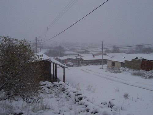 | ||
Madera is one of the 67 municipalities of Chihuahua, in the Sierra Nevada mountains of northern Mexico. The municipal seat lies at Madera. The municipality covers an area of 8,158.8 km².
Contents
Map of Madera, Chihuahua, Mexico
As of 2010, the municipality had a total population of 29,611, down from 32,031 as of 2005.
As of 2010, the city of Madera had a population of 15,447. Other than the city of Madera, the municipality had 600 localities, the largest of which (with 2010 populations in parentheses) were: El Largo (3,522), Nicolás Bravo (1,862), classified as urban, and Las Varas (Estación Babícora) (1,417) and Mesa del Huracán (Chihuahuita) (1,102), classified as rural.
The economy is primarily based on logging, madera meaning wood in Spanish. There is also some agriculture and cattle ranches in the municipality.
The municipality is also known for its caves and parks and within a 50 km radius of the town there are many caves featuring pre-Columbian artworks.
Towns and villages
The municipality has 226 localities. The largest are: