
Population 4,129 (2011 Census) Civil parish Keele Dialling code 01782 University Keele University | OS grid reference SJ807453 Sovereign state United Kingdom Local time Saturday 3:45 PM | |
 | ||
Weather 13°C, Wind S at 11 km/h, 80% Humidity District | ||
A view through keele university
Keele is a village and civil parish in northern Staffordshire, England. It is approximately three miles (5 km) west of Newcastle-under-Lyme, and is close to the village of Silverdale. Keele lies on the A53 road from Newcastle-under-Lyme to Market Drayton and Shrewsbury. The village is the location of Keele University (at grid reference SJ817450) and Keele Services (grid reference SJ806440), a motorway service area on the M6. The university partly surrounds the village.
Contents
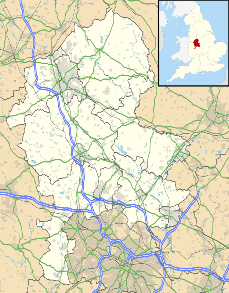
Map of Keele, Newcastle, UK
According to the 2001 census the parish had a population of 3,664,(increasing to 4,129 at the 2011 census) most of whom were students at Keele University. Some of these students are located at the Hawthorns.
It is located in the Keele ward of the borough of Newcastle-under-Lyme.Its name came from Anglo-Saxon Cȳ-hyll = "Cow-hill".
During the Second World War the estate was occupied by the US army, and some prisoners of war were held here. American servicemen occupied Nissen Huts and General Patton visited during this period.
Keele is featured on the UK 'Here and Now' edition of the board game Monopoly, released in September 2007, It takes the place of Fleet Street in the traditional version.