
Area 795.1 km² Population 22,701 (2013) | Website maconcountytn.gov Founded 1842 | |
 | ||
Rivers Peyton Creek, Salt Lick Creek, Long Creek, Goose Creek | ||
Macon County is a county located in the U.S. state of Tennessee. As of the 2010 census, the population was 22,248. Its county seat is Lafayette.
Contents
- Map of Macon County TN USA
- History
- Geography
- Adjacent Counties
- Demographics
- Cities
- Unincorporated communities
- References
Map of Macon County, TN, USA
Macon County is part of the Nashville-Davidson–Mufreesboro–Franklin, TN Metropolitan Statistical Area.
History
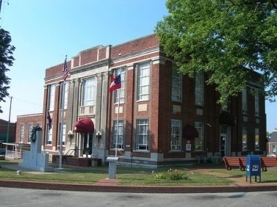
Macon County was formed in 1842 from parts of Smith and Sumner counties. It was named in honor of the late Revolutionary War veteran and United States Senator, Nathaniel Macon. The county seat was named in honor of the Marquis de Lafayette.
The county's second-largest city, Red Boiling Springs, thrived as a mineral springs resort in the late 19th and early 20th centuries. Three hotels from this period– the Donoho, the Thomas House (previously the Cloyd Hotel), and the Armour (previously the Counts Hotel)– are still open, though only the Armour still offers mineral water treatments.
Geography
According to the U.S. Census Bureau, the county has a total area of 307 square miles (800 km2), of which 307 square miles (800 km2) is land and 0.1 square miles (0.26 km2) (0.03%) is water. The county is located amidst the northeastern Highland Rim, and is generally rugged and hilly.
Adjacent Counties
Demographics
As of the census of 2000, there were 20,386 people, 7,916 households, and 5,802 families residing in the county. The population density was 66 people per square mile (26/km²). There were 8,894 housing units at an average density of 29 per square mile (11/km²). The racial makeup of the county was 97.86% White, 0.22% Black or African American, 0.42% Native American, 0.24% Asian, 0.07% Pacific Islander, 0.77% from other races, and 0.44% from two or more races. 1.71% of the population were Hispanic or Latino of any race.
There were 7,916 households out of which 35.00% had children under the age of 18 living with them, 60.70% were married couples living together, 8.80% had a female householder with no husband present, and 26.70% were non-families. 23.80% of all households were made up of individuals and 10.70% had someone living alone who was 65 years of age or older. The average household size was 2.55 and the average family size was 3.00.
In the county, the population was spread out with 26.10% under the age of 18, 8.50% from 18 to 24, 29.40% from 25 to 44, 23.30% from 45 to 64, and 12.70% who were 65 years of age or older. The median age was 36 years. For every 100 females there were 97.40 males. For every 100 females age 18 and over, there were 95.10 males.
The median income for a household in the county was $29,867, and the median income for a family was $37,577. Males had a median income of $28,170 versus $20,087 for females. The per capita income for the county was $15,286. About 11.30% of families and 15.10% of the population were below the poverty line, including 17.00% of those under age 18 and 25.40% of those age 65 or over.