
Area 5,048 km² Max width 96.6 km | Population 0 Max length 98.2 km | |
 | ||
Territory NunavutNorthwest Territories Island groups Canadian Arctic Archipelago, Queen Elizabeth Islands | ||
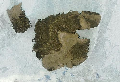
Aerial survey mackenzie king island part 3 coastlines of the findlay island group nunavut and ma
Mackenzie King Island is one of the Queen Elizabeth Islands in northern Canada. It lies north of Melville Island and south of Borden Island, and like them is divided. Most of the island is in Northwest Territories, while its easternmost portion lies in Nunavut. The border runs along the 110th meridian west.
Contents
- Aerial survey mackenzie king island part 3 coastlines of the findlay island group nunavut and ma
- Map of Mackenzie King Island Canada
- Aerial survey mackenzie king island part 2 coastlines of the findlay island group nunavut and ma
- History
- References
Map of Mackenzie King Island, Canada
Mackenzie King has an area of 5,048 km2 (1,949 sq mi), 60 miles (97 km) long in northeast or 47 miles (76 km) in southeast and 60 miles (97 km) wide, making it the 116th largest island in the world, and Canada's 26th largest island.
Aerial survey mackenzie king island part 2 coastlines of the findlay island group nunavut and ma
History
The first known visit to the island was by Vilhjalmur Stefansson in 1915, and it was later named for William Lyon Mackenzie King.
References
Mackenzie King Island Wikipedia(Text) CC BY-SA