
Local time Friday 8:38 AM | Time zone PST (UTC+5) | |
 | ||
Weather 17°C, Wind W at 5 km/h, 45% Humidity | ||
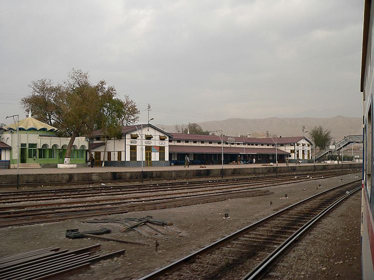
Machh, or Mach, is a small town and union council of Bolan District in the Balochistan province of Pakistan. The town has an altitude of 1006 metres (3303 feet) and is located at 29°52'0N 67°19'60E, - some about 50 km (70 km by road) southeast of Quetta, the provincial capital.
Contents
Map of Mach, Pakistan
Geography
Mach is located in between the stony hills. It is divided into 3 parts; area for jail, railway and town. There is only one bazaar. People belonging from different tribes like balochi, kashmiri, hazare, sindhi, punjabi and hindus.
Languages
Like Quetta and Sibbi it is a multi ethnic city where several languages are spoken including Brahui, Pashto, Punjabi (including Hindko & Saraiki dialects), Persian (in Hazargi and Dehvari dialects), Baluchi, Sindhi (In Hindki and Frakhi dialects) and Urdu. No language has clear majiority and Urdu serves as lingua franca for inter ethnic communications.
Earning Source
Mostly people works in coal mines, railway and jail. Others works in shops and wapda sector.
Famous
Mach is famous for its jail, built in 1929 and coal mines. Famous personality of Mach is Mr. Ehtesham Saeed.
Weather
The climate is dry. It rains 3 or 4 times in a year.
Transportation
People use cars, bikes and cycles for transportation in town.