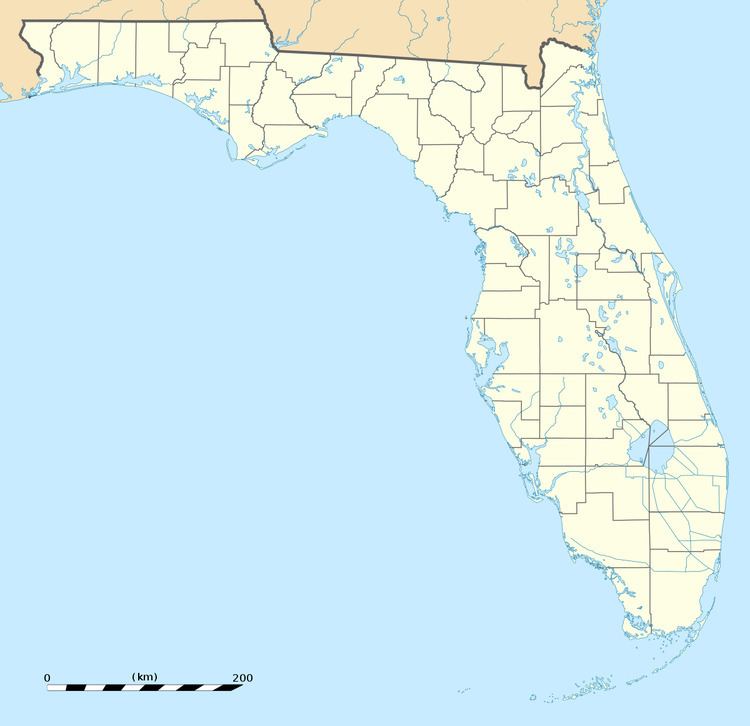
Country United States Time zone Eastern (EST) (UTC-5) Elevation 11 m | ZIP codes 33607 | |
 | ||
Macfarlane Park is a neighborhood in the West Tampa district of Tampa, Florida, which represents District 6 of the Tampa City Council. The 2000 census numbers were unavailable, however, the latest estimated population was 1,754.
Contents
Geography
MacFarlane Park is located at 27.958632 and -82.495373. The elevation is 30 feet (9.1 m) above sea level.
Macfarlane Park boundaries are roughly Himes Avenue to the west, Beach Street to the north, Cypress Street/Main Street to the south and Mac Dill Avenue/New Jersey Avenue to the east. The ZIP Code serving the neighborhood is 33607. The land area of the neighborhood is 0.486 square miles (1.26 km2) and the population density was 3,608 persons per square mile.
Demographics
Source: Mac Farlane Park: city-data.com
The latest estimated population was 1,754; which consists of 836 males and 918 females. The median age is 42.8 for males and 47.7 for females. The percentage of marriage couple stands at 51%.
The median income for the neighborhood is $36,875. The average family size is 2.6 and the average household size is approximately 3.0 persons.
Education
Macfarlane Park is served by Hillsborough County Public Schools, which serves the city of Tampa and Hillsborough County.
