
Time zone ETZ (UTC-5) Area 504 km² Population 9,137 (2000) | Founded 1848 Local time Thursday 7:28 PM | |
 | ||
Weather 28°C, Wind N at 23 km/h, 64% Humidity | ||
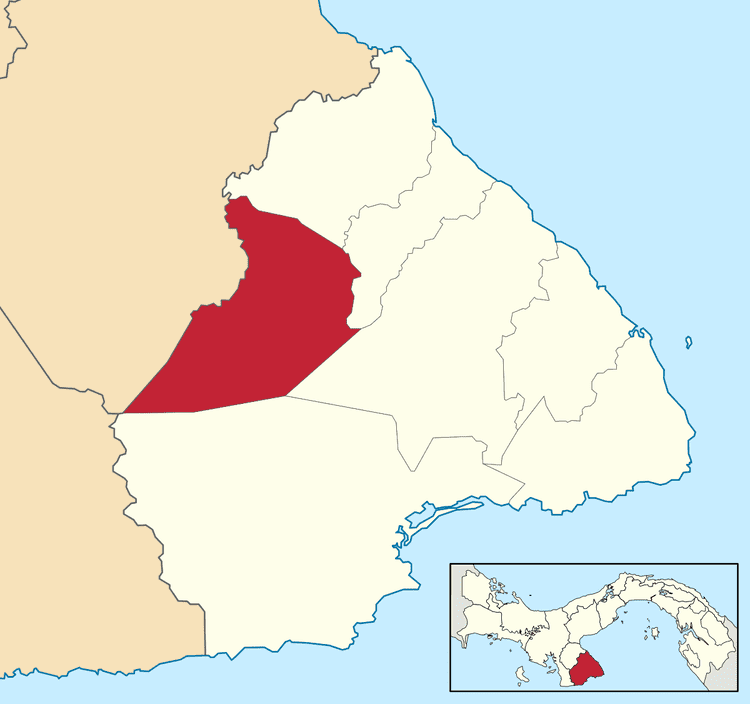
Macaracas District is a district (distrito) of Los Santos Province in Panama. The population according to the 2000 census was 9,137. The district covers a total area of 504 km². The capital lies at the city of Macaracas.
Contents
Map of Macaracas District, Panama
Administrative divisions
The district is divided administratively into the following corregimientos:
Macaracas (capital), Bahía Honda, Bajos de Guera, Corozal, Chupa, El Cedro, Espino Amarillo, La Mesa, Llano de Piedra, Las Palmas and Mogollón.
References
Macaracas District Wikipedia(Text) CC BY-SA