Population 486 (2006 census) Postal code 4406 | Postcode(s) 4406 Local time Friday 10:17 AM | |
 | ||
Weather 27°C, Wind W at 11 km/h, 61% Humidity | ||
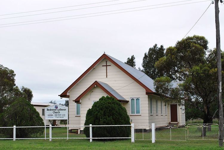
Macalister is a town in the Darling Downs region of Queensland, Australia. The town is located in the Western Downs Region local government area and on the Warrego Highway, 235 kilometres (146 mi) north west of the state capital, Brisbane. At the 2006 census, Macalister and the surrounding area had a population of 486.
Contents
Map of MacAlister QLD 4406, Australia
History
Macalister Post Office opened on 1 July 1880 (a receiving office had been open from 1876, known as Jimbour Creek until 1878) and closed in 1980.
References
Macalister, Queensland Wikipedia(Text) CC BY-SA
