
Design Concrete beam Load limit 20 tons | Traversable? Yes Total length 161 m Inaugurated 1952 | |
 | ||
Maintained by Department of Public Works and Highways Similar Jones Bridge, Quezon Bridge, Estrella–Pantaleon Bridge, San Juan River Bridge, Mabini Bridge | ||
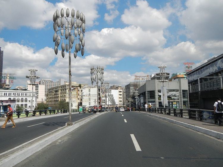
MacArthur Bridge is a road bridge crossing the Pasig River between Padre Burgos Avenue in Ermita and Carlos Palanca Street in Santa Cruz. It replaced the Santa Cruz Bridge, which was destroyed in World War II.
Contents
History
MacArthur Bridge replaced the older Santa Cruz Bridge which was bombed when the Japanese retreated on the Battle of Manila. The bridge was constructed after the war and opened in 1952.
Use on the procession of the Black Nazarene
The bridge is originally used as part of the route of the procession during the Feast of the Black Nazarene every January 9. However, in 2014, after the Department of Public Works and Highways called the bridge unstable to carry floods of devotees, later processions are soon rerouted to the adjacent Jones Bridge.
Douglas MacArthur monument
A monument for Douglas MacArthur stood on the foot of the south end of the bridge. The monument first stood in the facade of Pamantasan ng Lungsod ng Maynila, before it was moved into its present location after 1997.