
Elevation 3,785 m (12,418 ft) Province Taiwan Province Parent range Central Mountain Range | Listing 100 Peaks of Taiwan Mountain range Central Mountain Range | |
 | ||
Location Xinyi Township, Nantou County, Taiwan Similar Xiuguluan Mountain, Xinkang Mountain, Mount Guan, Central Range Point, Yushan North Peak | ||
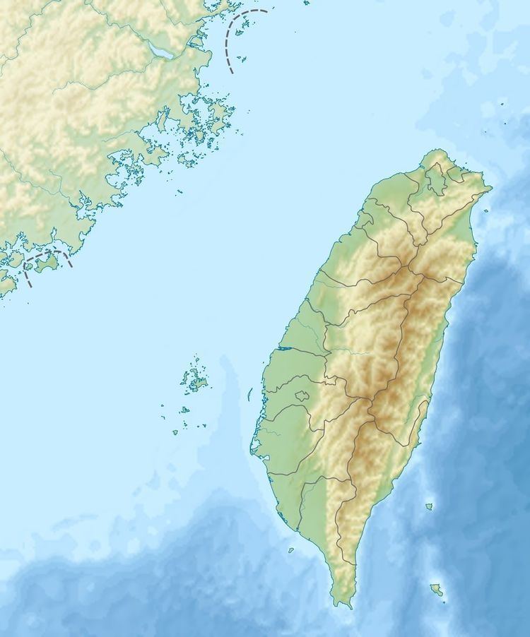
The Mabolasi Mountain (Chinese: 馬博拉斯山; pinyin: Mǎbólāsī Shān) is a mountain in Taiwan. The peak is located in Xinyi Township, Nantou County, near the border of Hualien County. It is also known as the Wulameng Mountain (Chinese: 烏拉孟山; pinyin: Wūlāmèng Shān).
Contents
- Map of 556 Taiwan Nantou County Xinyi Township E9A6ACE58D9AE68B89E696AFE5B1B1
- Geology
- History
- References
Map of 556, Taiwan, Nantou County, Xinyi Township, %E9%A6%AC%E5%8D%9A%E6%8B%89%E6%96%AF%E5%B1%B1
Geology
The mountain is located within the Central Mountain Range with a maximum peak height of 3,785 m. It is the fourth highest mountain of Taiwan.
History
On 22 September 2015, an AIDC AT-3 of the Republic of China Air Force crashed around the mountain area during routine training flight, killing its two pilots.
References
Mabolasi Mountain Wikipedia(Text) CC BY-SA