
Region Barima-Waini Local time Thursday 5:55 PM | Elevation 13 m Number of airports 1 | |
 | ||
Country GuyanaClaimed by Venezuela Weather 27°C, Wind NE at 14 km/h, 73% Humidity | ||
Vso there away mabaruma guyana
Mabaruma is the administrative centre for Region One (Barima-Waini) of Guyana. It is located close to the Aruka River (the Venezuelan border) on a narrow plateau above the surrounding rainforest at an altitude of 13 metres.
Contents
- Vso there away mabaruma guyana
- Map of Mabaruma Guyana
- Ferry from georgetown to mabaruma guyana
- References
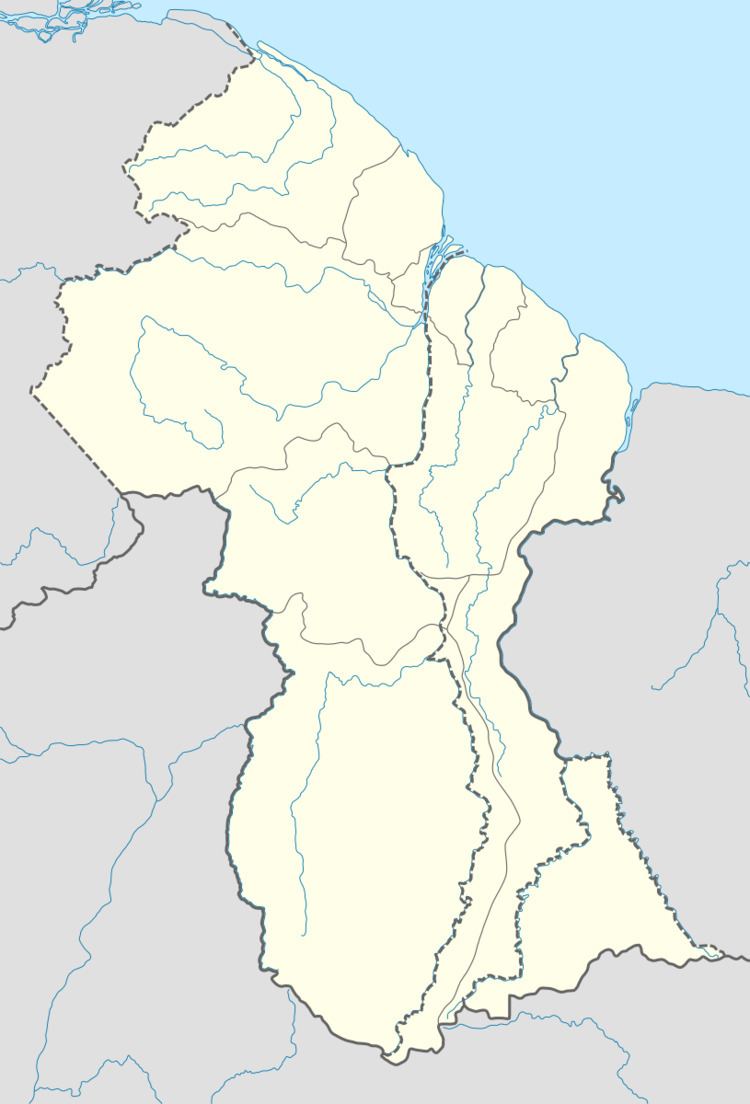
Map of Mabaruma, Guyana
It replaced Morawhanna as the regional capital after the former was deemed at risk from flooding. There is a government guest house in the town.
Mabaruma contains the region's first secondary school, North West Secondary School, established in 1965.
Ferry from georgetown to mabaruma guyana
References
Mabaruma Wikipedia(Text) CC BY-SA