
Local time Thursday 10:27 AM | Elevation 127 m | |
 | ||
Weather 6°C, Wind W at 19 km/h, 74% Humidity Voivodeship | ||
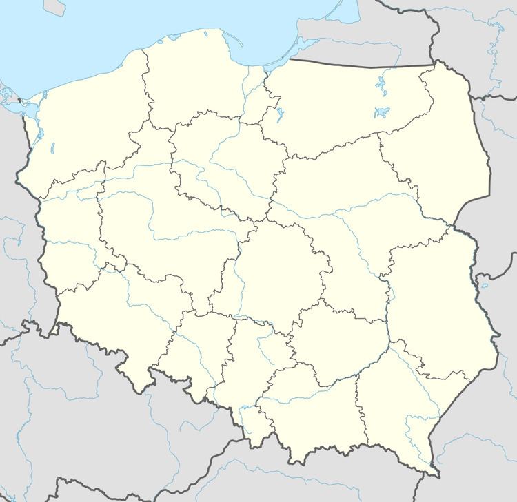
Małobór [maˈwɔbur] (German: Chartronswalde) is a settlement in the administrative district of Gmina Złocieniec, within Drawsko County, West Pomeranian Voivodeship, in north-western Poland. It lies approximately 13 kilometres (8 mi) north-east of Złocieniec, 25 km (16 mi) east of Drawsko Pomorskie, and 106 km (66 mi) east of the regional capital Szczecin.
Map of Ma%C5%82ob%C3%B3r, Poland
Before 1772 the area was part of Kingdom of Poland, 1772-1945 Prussia and Germany. For more on its history, see Wałcz County and "Warlang-Heinrichsdorf Domain".
References
Małobór, Drawsko County Wikipedia(Text) CC BY-SA