
Country Brazil Founded October 22, 1997 Area 1,683 km² Local time Thursday 5:13 AM | Micro-region Campanha Ocidental Time zone BRT (UTC-3) Population 4,824 (2015) | |
 | ||
Weather 22°C, Wind SW at 11 km/h, 99% Humidity | ||
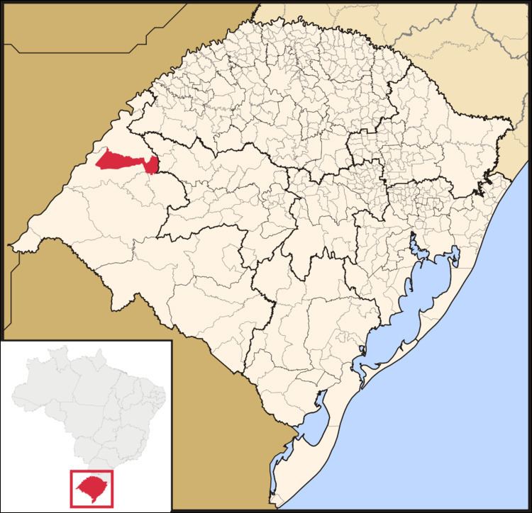
Maçambara is a small Brazilian municipality in the western part of the state of Rio Grande do Sul. The population is 4,824 (2015 est.) in an area of 1,682.82 km². Its elevation is 110 m. It is located west of the state capital of Porto Alegre and northeast of Alegrete.
Contents
Map of Ma%C3%A7ambara - RS, Brazil
The municipality contains part of the 4,392 hectares (10,850 acres) São Donato Biological Reserve, a strictly protected conservation unit created in 1975 that protects an area of wetlands on the Butuí River, a tributary of the Uruguay River.
References
Maçambara Wikipedia(Text) CC BY-SA