
Population (2015) 766 Founded 1983 | ||
 | ||
Weather 8°C, Wind S at 8 km/h, 75% Humidity | ||
Ma ale levona
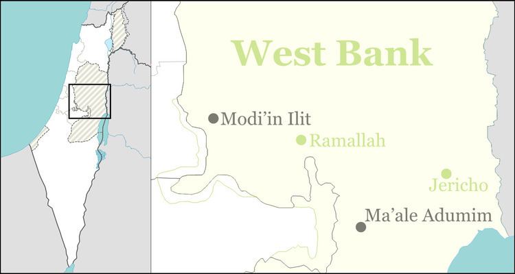
Ma'ale Levona (Hebrew: מַעֲלֵה לְבוֹנָה, lit. Ascent of Frankincense) is an Israeli settlement organized as a communal settlement in the West Bank. Located to the south-east of Ariel, it falls under the jurisdiction of Mateh Binyamin Regional Council. In 2015 it had a population of 766.
Contents
Map of Ma'ale Levona
The international community considers Israeli settlements in the West Bank illegal under international law, but the Israeli government disputes this.
Etymology
The valley may be named for the frankincense grown there in biblical days for the incense used in the Tabernacle of near-by Shiloh. There was an Israelite village on the edge of the valley that also bore the name "Levonah" (Judges 21:19). The name of that ancient site is preserved in the name of the Arab village Al-Lubban ash-Sharqiya (Eastern Lubban).
Antiquity
Ma'ale Levona overlooks the ancient mountain pass noteworthy as the site of the Battle of Wadi Haramia, the first battle of the Maccabees against the Selucids. The mountain pass, the "Ascent of Levonah" is to the east of the village and links the Levonah valley to its north with the Shiloh valley to its south. Judah Maccabee killed the Samarian mysarch Apollonius in this battle, taking his sword for himself.
Modern era
Ma'ale Levona was initially established as a Nahal outpost. It later became a civilian settlement under the municipal jurisdiction of the Matte Binyamin Regional Council. It is located in the northern West Bank, in the Shilo-Eli bloc near Ariel. Ma'ale Levona is home to around 120 families.