District Điện Biên | ||
 | ||
Time zone Indochina Time (UTC+07:00) | ||
Hu n luy n th l c n bp m ng p n i n bi n
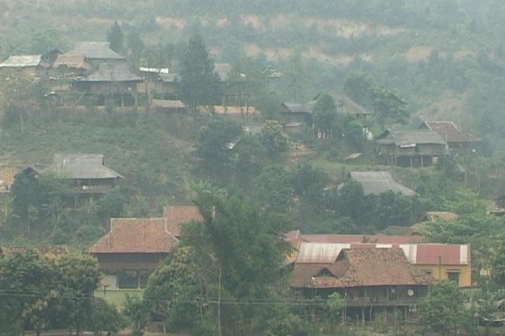
Mường Pồn is a commune (xã) and village of the Điện Biên District of Điện Biên Province, northwestern Vietnam. Less than 4 kilometres from the Lao border, it lies along National Route 12, north by road from Dien Bien Phu. A small French force was located here before the Battle of Dien Bien Phu. After a two-day siege, it fell to the Viet Minh on 12 December 1953, despite an attempt to relieve the garrison by Pierre Langlais. The village was burned to the ground.
Contents
- Hu n luy n th l c n bp m ng p n i n bi n
- Map of MC6B0E1BB9Dng PE1BB93n h C490iE1BB87n BiC3AAn Dien Bien Vietnam
- C ng t c m b o h u c n c a n bp m ng p n b bp i n bi n
- References
Map of M%C6%B0%E1%BB%9Dng P%E1%BB%93n, h. %C4%90i%E1%BB%87n Bi%C3%AAn, Dien Bien, Vietnam
C ng t c m b o h u c n c a n bp m ng p n b bp i n bi n
References
Mường Pồn Wikipedia(Text) CC BY-SA
