
Country Vietnam Capital Mường Khương Area 552 km² Local time Friday 3:30 AM | Region Northeast Time zone UTC + 7 (UTC+7) Province Lao Cai Province Population 48,242 (2003) | |
 | ||
Weather 20°C, Wind SW at 6 km/h, 72% Humidity | ||
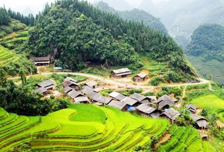
Mường Khương is a rural district of Lào Cai Province in the Northeast region of Vietnam. Mường is as variation of Mueang. As of 2003, the district had a population of 48,242. The district covers an area of 552 km². The district capital lies at Mường Khương.
Contents
Map of M%C6%B0%E1%BB%9Dng Kh%C6%B0%C6%A1ng District, Lao Cai, Vietnam
Administrative divisions
Mường Khương, Lào Ca, Cao Sơn, Bản Lầu, Nậm Chảy, Tung Chung Phố, Tả Gia Khâu, Pha Long, Dìn Chin, Tả Ngải Chồ, Thanh Bình, Bản Sen, Lùng Khấu Nhin, La Pan Tẩn, Nấm Lư, Tả Thàng, Lùng Vai. Mường is a variation of Mueang.
References
Mường Khương District Wikipedia(Text) CC BY-SA