
Postal code 14-420 Area 2.76 km² Local time Thursday 9:10 PM | Elevation 53 m (174 ft) Website www.mlynary.pl Population 1,837 (2006) | |
 | ||
Weather 7°C, Wind NE at 8 km/h, 64% Humidity Voivodeship Warmian-Masurian Voivodeship | ||
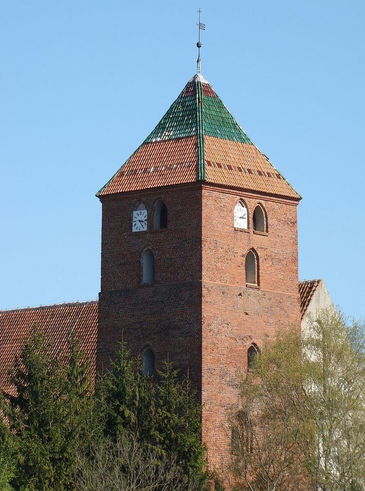
Młynary [mwɨˈnarɨ] (German: Mühlhausen in Ostpreußen) is a town in Elbląg County, Warmian-Masurian Voivodeship, Poland, with 1,844 inhabitants (2004). This makes it the smallest of the 49 towns in the voivodeship.
Contents
Map of M%C5%82ynary, Poland
Before 1945 the area was part of Germany (East Prussia). After World War II the region was placed under Polish administration by the Potsdam Agreement under territorial changes demanded by the Soviet Union. Most Germans fled or were expelled and replaced with Poles expelled from the Polish areas annexed by the Soviet Union or forced to settle in the area through Operation Vistula in 1947.
People
References
Młynary Wikipedia(Text) CC BY-SA