
Lowest elevation 873 m (2,864 ft) Local time Thursday 9:02 PM | County Żywiec Highest elevation 995 m (3,264 ft) Population 40 | |
 | ||
Weather 7°C, Wind SW at 6 km/h, 86% Humidity | ||
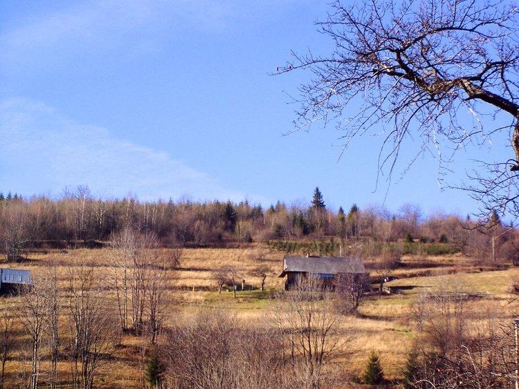
Młada Hora [ˈmwada ˈxɔra] is a village in the administrative district of Gmina Ujsoły, within Żywiec County, Silesian Voivodeship, in southern Poland, close to the border with Slovakia.
Contents
Map of M%C5%82ada Hora, Sobl%C3%B3wka, Poland
Location
It lies approximately 5 kilometres (3 mi) south-west of Ujsoły, 29 km (18 mi) south of Żywiec, and 91 km (57 mi) south of the regional capital Katowice.
Population
The village has a population of 40.
References
Młada Hora Wikipedia(Text) CC BY-SA