
Last eruption About 470,000 BP Parent range Hawaii | Topo map USGS Kamuela Elevation -1,149.1 m | |
 | ||
Volcanic arc/belt Hawaiian-Emperor seamount chain Similar Lōʻihi Seamount, East Molokai Volcano, Hualālai, Kohala, Brushy Butte | ||
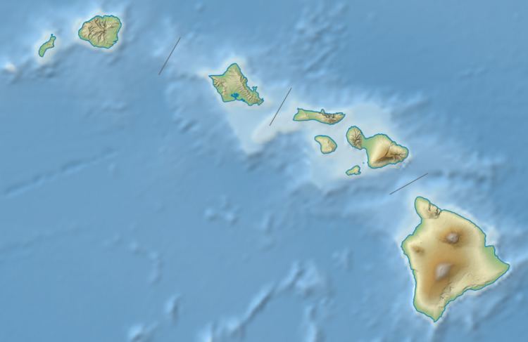
Māhukona is a submerged shield volcano on the northwestern flank of the Island of Hawaiʻi. A drowned coral reef at about 3,770 feet (-1,150 m) below sea level and a major break in slope at about 4,400 feet (-1,340 m) below sea level represent old shorelines. The summit of the shield volcano was once 800 feet (250 m) above sea level. It has now subsided below sea level. A roughly circular caldera marks the summit of Māhukona. A prominent rift zone extends to the west. A second rift zone probably extended to the east but has been buried by younger volcanoes. The main shield-building stage of volcanism ended about 470,000 years ago. The summit of the shield volcano subsided below sea level between 435,000 and 365,000 years ago. This makes Māhukona the oldest volcano to build Hawaiʻi island, compared to Kohala to the east and Hualālai to the southeast. The Monterey Bay Aquarium Research Institute investigated the area with a remotely controlled submarine in 2001.
Map of M%C4%81hukona, United States
It was named for the area known as Māhukona on the shore to the northeast.