
District Westerwaldkreis Time zone CET/CEST (UTC+1/+2) Area 9.27 km² Local time Thursday 7:31 PM Dialling code 02680 | Elevation 310 m (1,020 ft) Postal codes 56271 Postal code 56271 Population 745 (31 Dec 2008) | |
 | ||
Weather 11°C, Wind E at 10 km/h, 59% Humidity | ||
Mündersbach is an Ortsgemeinde – a community belonging to a Verbandsgemeinde – in the Westerwaldkreis in Rhineland-Palatinate, Germany.
Contents
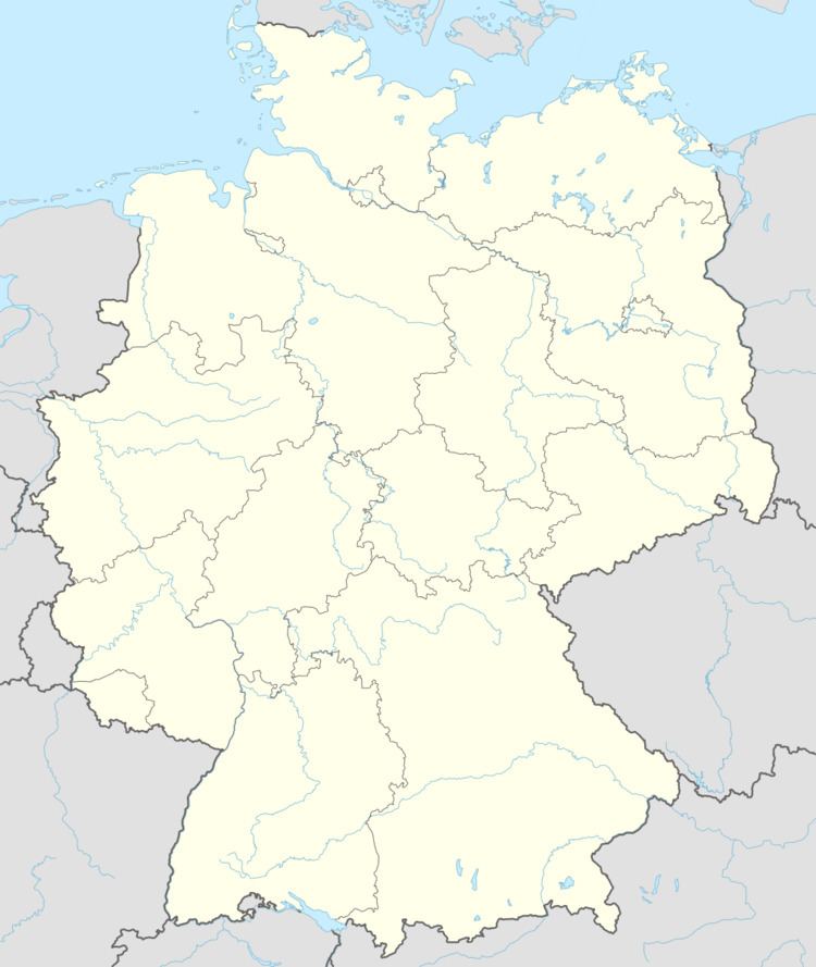
- Map of 56271 MC3BCndersbach Germany
- Location
- History
- Community council
- Transport
- Public institutions
- References
Map of 56271 M%C3%BCndersbach, Germany
Location
The community lies between Hachenburg and Herschbach. The residential community of Mündersbach belongs to the Verbandsgemeinde of Hachenburg, a kind of collective municipality. Its seat is in the like-named town.
History
In 1247, Mündersbach had its first documentary mention.
Community council
The council is made up of 13 council members, including the extraofficial mayor (Bürgermeister), who were elected in a majority vote in a municipal election on 13 June 2004.
Transport
The community lies directly on Bundesstraße 413 from Bendorf to Hachenburg. The nearest Autobahn interchanges are in Dierdorf, Neuwied and Ransbach-Baumbach on the A 3 (Cologne–Frankfurt), each some 15 km away. The nearest InterCityExpress stop is the railway station at Montabaur on the Cologne-Frankfurt high-speed rail line. Trains reach both cities in 30 to 40 minutes.
Public institutions
The community has at its disposal a floodlit sporting ground and a tennis court with three places. The village’s children can enjoy themselves at public playing fields and playgrounds. There is also a community house (multipurpose hall) in Mündersbach with a modern kindergarten as well as a community bakehouse with a long baking tradition.