Basin area 209 km² | Reference no. DE: 53718 Country Germany | |
 | ||
Main source in the Eastern Ore Mountains on the border between Saxony and the Czech Republic749 m above sea level (NN) River mouth in Heidenau into the Elbe113 m above sea level (NN) | ||
The Müglitz is a river, about 49 km long, and a left tributary of the Elbe in the German state of Saxony.
Contents
Map of M%C3%BCglitz, Germany
CourseEdit
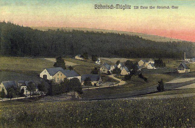
It rises in the Eastern Ore Mountains on the border between the German state of Saxony and the Czech Republic near the demolished Bohemian village of Mohelnice (Germah: Müglitz) from two headstreams:
From the German village of Müglitz, that lies only just below the confluence of the White and Black Müglitz, the Müglitz runs entirely on Saxon territory. It flows by several villages including Lauenstein, Glashütte, Müglitztal, and Dohna, before emptying into the Elbe at Heidenau.
References
Müglitz (river) Wikipedia(Text) CC BY-SA
