
Elevation 34 m (112 ft) Area 22.2 km² | State Berlin Founded 1747 Time zone CET/CEST (UTC+1/+2) | |
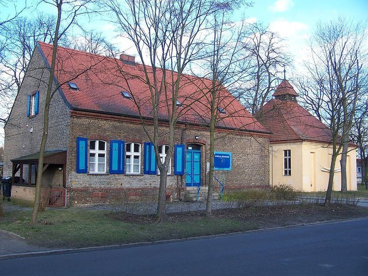 | ||
Müggelheim is a German locality (Ortsteil) within the Berlin borough (Bezirk) of Treptow-Köpenick. Until 2001 it was part of the former borough of Köpenick.
Contents
Map of M%C3%BCggelheim, Berlin, Germany
History
The village was founded on June 1, 1747, by 20 families from Odernheim am Glan, in Rhineland-Palatinate. By 1920 it was still an autonomous municipality, the lesser-populated one (186 inhabitants) merging into the German capital with the "Greater Berlin Act".
Overview
Müggelheim, surrounded by the Berliner Stadtforst, lies in the southeastern suburbs of Berlin, at the borders with the Brandenburg municipalities of Erkner and Gosen-Neu Zittau, Oder-Spree district. It borders on the Berlin localities of Rahnsdorf, Köpenick, Grünau and Schmöckwitz.
The lakes Seddinsee and Langer See are the southern borders of the locality, which has within its limits three other lakes, the Große Krampe, a little portion of the Müggelsee (named Kleiner Müggelsee), and the little Bauersee.
Subdivision
Müggelheim has three zones (Ortslagen):
Transport
The locality has no urban rail service: the nearest S-Bahn station is Wilhelmshagen, located in Rahnsdorf. It is served by the bus routes M69 and 369, and by the ferry routes F21 (from Krampenburg to Schmöckwitz), F23 (from Müggelwerderweg to Kruggasse, in Rahnsdorf) and F24 (from Spreewiesen to Kruggasse).