
Topo map 1421 IV Skardsøya Prominence 345 m | Elevation 345 m | |
 | ||
Isolation 15.11 kilometres (9.39 mi) Similar Besselvassheia, Hestgrovheia, Finnvollheia, Dåapma, Eldsfjellet | ||
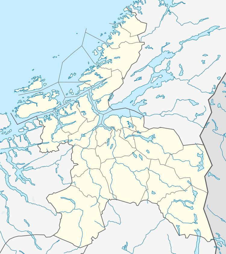
Mørkdalstuva or Mørkdalstua is the tallest mountain on the island of Hitra in the municipality of Hitra in Sør-Trøndelag county, Norway. The 345-metre (1,132 ft) tall mountain lies on the western side of the island, about 8 kilometres (5.0 mi) northeast of Forsnes and 7.5 kilometres (4.7 mi) southeast of Kvenvær.
Contents
Map of M%C3%B8rkdalstuva, 7246 Sandstad, Norway
Name
The mountain is named after the Mørkdalen valley. The last element is the finite form of tuve or tue which means "tussock". The valley name Mørkdalen is a compound of mørk which means "dark" and the finite form of dal which means "dale" or "valley".
References
Mørkdalstuva Wikipedia(Text) CC BY-SA