
Area 91.59 km² | Canton La Chapelle-d'Angillon Population (2008) 614 Local time Thursday 5:04 PM | |
 | ||
Weather 7°C, Wind SW at 8 km/h, 79% Humidity | ||
Méry-ès-Bois is a commune in the Cher department in the Centre region of France.
Contents
Map of 18380 M%C3%A9ry-%C3%A8s-Bois, France
Geography
A large area of streams, lakes, forestry and farming comprising the village and several hamlets situated some 16 miles (26 km) north of Bourges at the junction of the D22, D58 and the D168 roads and also on the D926 and D940. Two rivers have their source here, the Mocquart and the Guette and the Barangeon river flows through the middle of the commune.
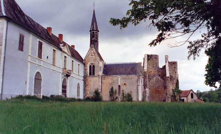
Sights
References
Méry-ès-Bois Wikipedia(Text) CC BY-SA