Source elevation 960 m | Length 40 km | |
 | ||
- location Chateauneuf-de-Chabre, Hautes-Alpes | ||
Gorge de la m ouge canyon river bridge vortex wind
The Méouge, (La Méouge) is a 39-kilometre (24 mi) river in the Rhône-Alpes region of the south of France. It rises in the Drôme near the town of Sederon and crosses into the Hautes-Alpes at Barret-sur-Méouge where it carves the spectacular tourist attraction, the Gorges de la Méouge, through the limestone platform. Near the communities of Chateauneuf-de-Chabre and Antonaves it joins the river Buëch which in turn flows into the Durance and the Rhone.
Contents
- Gorge de la m ouge canyon river bridge vortex wind
- Gorges de la m ouge aout 2012 xm
- Gorges de la MougeEdit
- Municipalities and townships crossedEdit
- TributariesEdit
- HydrologyEdit
- References
Gorges de la m ouge aout 2012 xm
Gorges de la MéougeEdit
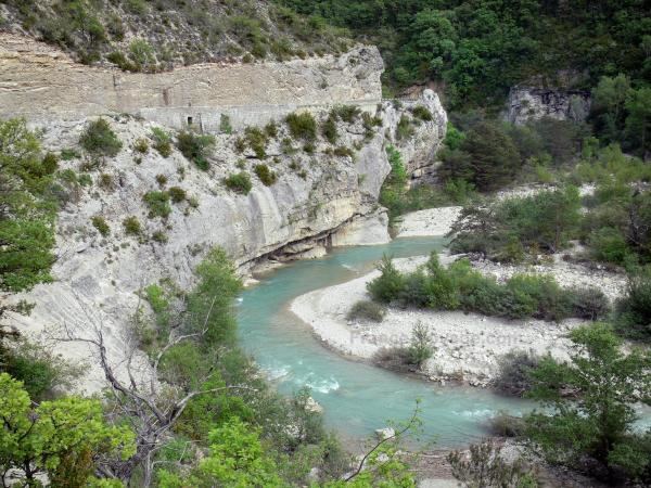
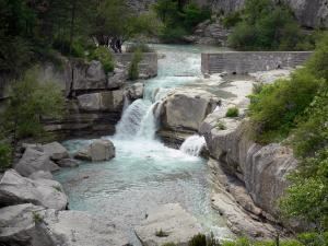
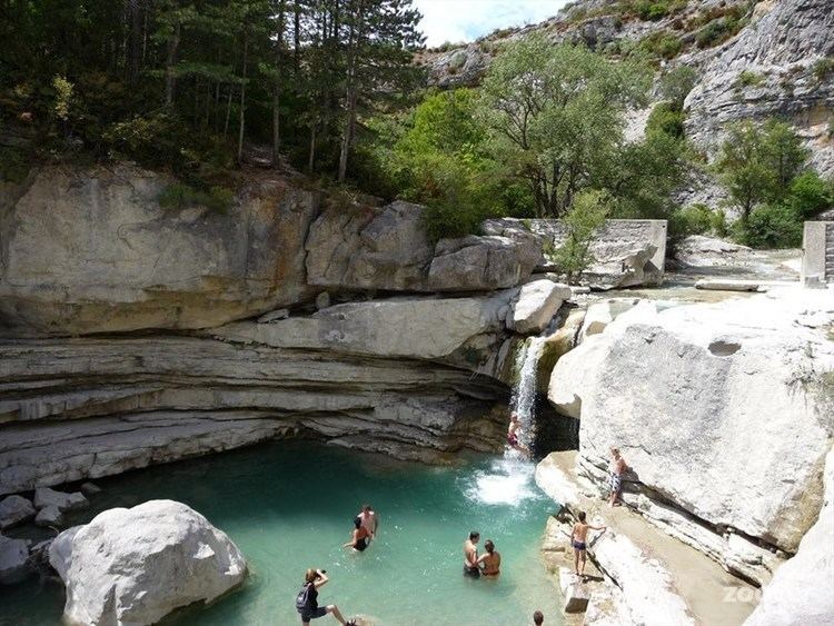
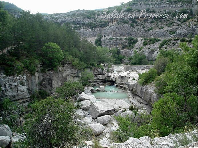
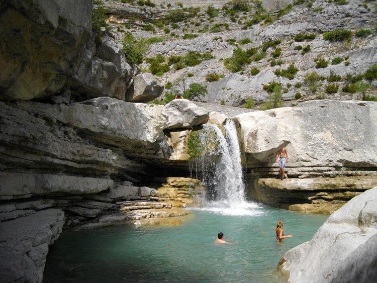
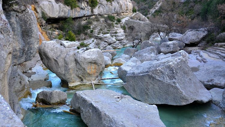
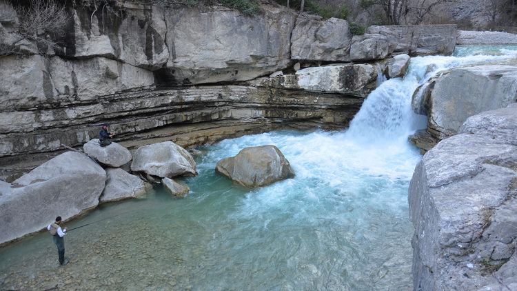
The "Gorges de la Méouge" is a 7-kilometre (4.3 mi) long gorge carved by the Méouge though the mesozoic limestone rock of the Hautes-Alpes in the Provence-Alpes-Côte d'Azur region. The lime colored gorge has wild shapes, small sandy beaches, huge polished pebbles, water holes and waterfalls. It is famous for swimming. The medieval bridge of Châteauneuf de Chabre is classified as a historical monument. The gorges are also classified Natural Areas of Ecological Interest, Fauna and Flora whose flora and fauna are protected.
Municipalities and townships crossedEdit
In both departments of Hautes-Alpes (05) and Drôme (26), the Méouge passes through eleven communities and two cantons. These include : Barret-de-Lioure (source), Séderon, Vers-sur-Méouge, Eygalayes, Lachau, Ballons, Salérans, Barret-sur-Méouge, Saint-Pierre-Avez, Châteauneuf-de-Chabre, Antonaves (confluence).
TributariesEdit
The Méouge has approximately 30 tributaries :
HydrologyEdit
The Méouge watershed has an area of 229 square kilometres (88 sq mi) (by SANDRE) and 225 square kilometres (87 sq mi) (by SIEM 7). It covers 14 municipalities and between 1,500 and 2,000 residents, mostly living in the municipalities of the Canton of Ribiers.