
Country United States GNIS feature ID 508519 Local time Wednesday 2:55 PM | Time zone Eastern (EST) (UTC-5) Elevation 352 m | |
 | ||
Weather -1°C, Wind NW at 21 km/h, 39% Humidity | ||
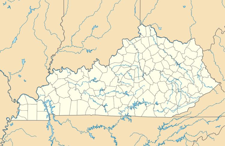
Lytten is an unincorporated community in Elliott County, Kentucky, United States. It lies along Route 173 west of the city of Sandy Hook, the county seat of Elliott County. Its elevation is 1,155 feet (352 m).
Map of Lytten, KY 41171, USA
References
Lytten, Kentucky Wikipedia(Text) CC BY-SA