
OS grid reference SY960931 Local time Wednesday 6:39 PM District Purbeck District | Sovereign state United Kingdom | |
 | ||
Weather 9°C, Wind SW at 6 km/h, 88% Humidity | ||
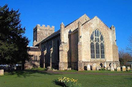
Lytchett Minster is a village in the English county of Dorset. It lies in the Purbeck local government district, about 4 miles northwest of Poole town centre. The village forms part of the civil parish of Lytchett Minster and Upton, Upton now being a suburb of Poole.
Contents
Map of Lytchett Minster, Poole, UK
Location
Lytchett Minster lies on low-lying farmland around 2 kilometres west of the Poole district of Upton and 2½ kilometres southeast of the village of Lytchett Matravers. To the northeast is Lytchett Heath, Beacon Hill and Upton Heath, to the southwest are Gore Heath and Holton Heath. The A 35 dual carriageway bypasses the village to the east and south.
History and culture
Lytchett Minster is home to a number of manor houses, one of which now hosts the local Secondary School Lytchett Minster School.
Governance
Lytchett Minster is within the Mid Dorset and North Poole constituency of the House of Commons and the South West England constituency of the European Parliament. Two electoral wards exist: Lychett Minster and Upton East, and Lychett Minster and Upton West. As well as including most of Upton the wards extend to the Beacon Hill area to the north and Bulbury to the west. The total population of the two wards at the 2011 census was 7,983