
District Zalischyky Raion Elevation 193 m (633 ft) Area 19.79 km² | Established 1418 Time zone EET (UTC+2) Local time Wednesday 8:25 PM | |
 | ||
Weather 7°C, Wind NW at 23 km/h, 83% Humidity | ||
Lysivtsi (Ukrainian: Лисівці́) is a village (selo) in the Zalischyky Raion of the Ternopil Oblast (province of Western Ukraine). The village is located in the north of Zalischyky Raion.
The population of the village is about 1943 people and Local government is administered by Lysivska village council.
Contents
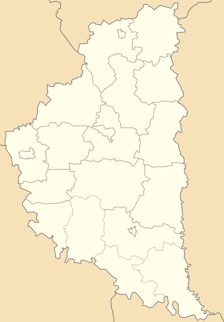
Map of Lysivtsi, Ternopil Oblast, Ukraine
Geography
The village Lysivtsi is situated on the right banks of the Seret River which is the left tributary of the Dniester. Area of the village totals is 19.79 km2. The village lies in a valley which is surrounded by low mountains, at the foot of the mountain Lysa.
Village Lysivtsi is a distant from the administrative center of Ternopil 107 kilometres (66 mi), 30 kilometres (19 mi) from the district center Zalischyky and 8 kilometres (5.0 mi) from the urban-type settlement Tovste.
History and Attractions
The date of establishment the village is considered 1418. But archaeological excavations have revealed traces of ancient settlements. Traces of Tripoli culture been found in the village Lysivtsi.
The church of the Intercession of Blessed Virgin Mary is in the village, where preserved icon of the Intercession of the Virgin Mary (17th century).
As well as ruined Roman Catholic church (stone, 1887) has the village.