
Listing Hewitt, Marilyn Topo map OSi Discovery 74 Prominence 100 m Parent range Galtee Mountains | OSI/OSNI grid R878238 Elevation 825 m Mountain range Galtee Mountains | |
 | ||
Similar Sugarloaf Hill, Broaghnabinnia, Brassel Mountain, Knockanore Mountain, The Bones | ||
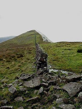
Lyracappul (Irish: Ladhar an Chapaill, meaning "fork/confluence of the horse") is a mountain in Limerick in Ireland. With a height of 825 metres (2,707 ft) it is the second highest of the Galtee Mountains and the 29th highest peak in Ireland. Lyracappul is also the second highest point in County Limerick. The mountain has a steep southern slope.
Map of Lyracappul, Carrigeen Mountain, Co. Limerick, Ireland
References
Lyracappul Wikipedia(Text) CC BY-SA