Country United States County Cook Time zone CST (UTC-6) Population 111,688 (2010) | State Illinois Elevation 620 ft (189 m) Area 95.7 km² Local time Wednesday 12:21 PM | |
 | ||
ZIP codes 60402, 60457, 60458, 60480 60501, 60513, 60521, 60525, 60526, 60534, 60546, 60558 60638 Weather -1°C, Wind NW at 24 km/h, 40% Humidity Colleges and Universities Tricoci University of Beauty Culture-Bridgeview, Everest College-Burr Ridge | ||
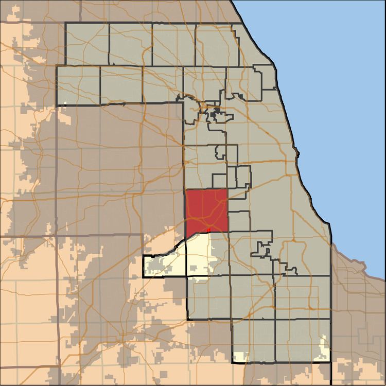
Lyons Township is one of 29 townships in Cook County, Illinois, USA. As of the 2010 census, its population was 111,688. Lyons Township was established in 1850. The nearby unincorporated area of Lyons is often incorrectly referred to as "Lyons Township"
Contents
- Map of Lyons Township IL USA
- Geography
- Adjacent townships
- Cemeteries
- Major highways
- Airports and landing strips
- Rivers
- Landmarks
- Demographics
- Elected officials
- References
Map of Lyons Township, IL, USA
Geography
According to the United States Census Bureau, Lyons Township covers an area of 36.95 square miles (95.7 km2); of this, 36.38 square miles (94.2 km2) (98.44 percent) is land and 0.57 square miles (1.5 km2) (1.56 percent) is water.
The boundaries of Lyons Township are Harlem Avenue on the east; the Cook-DuPage County boundary (County Line Road) on the west; the line of 87th Street on the south, except west of Willow Springs, where it follows the Des Plaines River to the Cook-DuPage county line; and the line of 39th Street (Southview Avenue, Brewster Avenue) on the north. There are seventeen municipalities in or partially within Lyons Township's thirty-seven square miles of territory:
There is one unincorporated community in the township:
Adjacent townships
Cemeteries
The township contains these six cemeteries: Archer Woods Memorial Park, Bethania, LaGrange, Lithuanian National, Resurrection and Saint Johns.
Major highways
Airports and landing strips
Rivers
Landmarks
Demographics
As of the 2010 census:
