
Population 219 (2011 census) Local time Thursday 2:53 AM | Postcode(s) 2797 Postal code 2797 Lga Blayney Shire | |
 | ||
Location 269 km (167 mi) from Sydney63 km (39 mi) from Bathurst Weather 19°C, Wind NE at 21 km/h, 87% Humidity | ||
Lyndhurst is a small village in New South Wales, Australia in Blayney Shire. It is 4 kilometres west of Mandurama or about 269 km west of Sydney and 63 km south-west of Bathurst just off the Mid-Western Highway New South Wales. Once serving as the major centre for basic goods and needs to the nearby Junction Reefs goldfields. At the 2011 census, Lyndhurst had a population of 219 people.
Contents
Map of Lyndhurst NSW 2797, Australia
Lyndhurst is in fact most significant for being one of the ten areas (including Albury, Armidale, Bombala, Dalgety, Lake George, Orange, Tooma, Tumut and Yass shortlisted in 1908 as a site for the Australian Capital Territory.
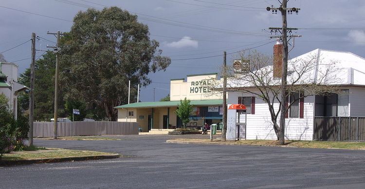
Lyndhurst Today
Lyndhurst today boasts the still functioning Royal Hotel, and a combined service station, and general store. It also has a local public school. And is also an RV friendly town.