
- elevation 1,950 ft (594 m) Length 11 km | - elevation 30 ft (9 m) | |
 | ||
Similar Adobe Creek, Sonoma Mountain, Copeland Creek, Shollenberger Park, Crane Creek | ||
First descent lynch creek petaluma river
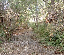
Lynch Creek is a 7.1-mile-long (11.4 km) stream in Sonoma County, California, United States which discharges into the Petaluma River.
Contents
- First descent lynch creek petaluma river
- Map of Lynch Creek Petaluma CA USA
- CourseEdit
- BridgesEdit
- References
Map of Lynch Creek, Petaluma, CA, USA
CourseEdit
Lynch Creek rises on the west flank of Sonoma Mountain and descends initially to the west. It flows under Sonoma Mountain Road, then turns southward and roughly parallels Lynch Road for about a mile (2 km). Just north of Adobe Road, it crosses under Sonoma Mountain Road again. After crossing Adobe Road, it flows through Rooster Run Golf Club and enters suburban Petaluma, where it flows southwestward. It crosses Sonoma Mountain Parkway and Maria Drive and follows the western edge of Lucchesi Park to North McDowell Boulevard. From the south side of the Boulevard, it continues southward, passing under U.S. 101 at Sonoma County milepost 5.19 to feed into the Petaluma River near Jess Avenue.
BridgesEdit
Lynch Creek is spanned by several bridges, including: